Tengger Desert, Yellow River & Floodplain
Overview
-
The Tengger Desert, Yellow River & Floodplain
Endless waves of sand dunes broken only by the occasional rocky crag, the Tengger covers about 36,700 km2 and is mostly in the Inner Mongolia Autonomous Region in China.Yellow River and Flood Plain
About 25 kilometres west of the city of Zhongwei, the Yellow River emerges from its steep-sided canyon, and for the next several hundred kilometres the river flows across a wide floodplain. Under natural conditions, the river would have flooded and spread across this plain annually, dumping the sediment picked up from its journey through the mountains to create deep soils.Although it doesn' t rain much here, the flat terrain, fertile soil and easy access to water make the area perfect for irrigation. Over the past few millenia a series of cultures, not all of them Chinese, have lived on and farmed this floodplain. The wall was built along the perimeter of the agricultural area, protecting the fields from invaders and, coincidentally, separating them from the Tengger Desert to the north.
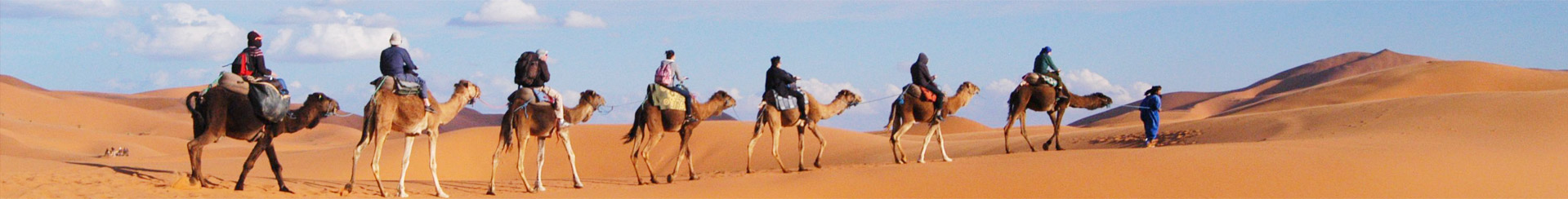
 Camel-riding & Camping in Mongolian Desert and Jeep Surfing Sand Dunes


